
Antioch Postal Areas by ZIP
Two main postal areas serve Antioch. 94509 broadly covers historic and northern or central areas, including the waterfront, downtown, Somersville, Cavallo, A Street, and the Wilbur corridor. 94531 broadly covers southeastern and newer growth around Lone Tree, Hillcrest, Deer Valley, Dallas Ranch, Prewett Ranch, Golf Course, and areas east or south of Highway 4. These are map-based orientations from the city’s April 2018 ZIP map, not official neighborhood definitions.
| ZIP Code | Areas Covered | Post Office | Notes |
|---|---|---|---|
| 94509 | Historic, northern, and central Antioch; waterfront, downtown, Somersville, Cavallo, A Street, and Wilbur | Antioch Post Office, 2730 W. Tregallas Road, 94509-9998 | Retail hours listed as Monday-Friday 8:30-5 and Saturday 9:30-2 |
| 94531 | Southeastern and newer Antioch around Lone Tree, Hillcrest, Deer Valley, Dallas Ranch, Prewett Ranch, and Golf Course | Antioch postal facilities; verify the station by exact address | Also used for the city’s mailing P.O. Box even though City Hall is physically in 94509 |
The research did not confirm a dated Antioch ZIP split, a PO-box-only ZIP, a unique institutional ZIP, or an exact station assignment for every 94531 address. The safest ZIP code directory states the gap and sends the exact delivery question to USPS.
The Antioch ZIP Boundary Is Not the City Line
Postal geography follows delivery routes. City limits follow jurisdiction. A census ZCTA approximates a postal area and can cross a city line. A parcel APN follows land identity. A council district follows representation. A court filing table can use ZIP labels for venue without making the ZIP a neighborhood or resident roll.
Antioch’s growth from the waterfront through Highway 4 and into southern and eastern subdivisions makes the distinction practical. A mailing label may say Antioch while a parcel, school district, water district, historic township, or city layer calls for a separate check. Annexation can bring land into the city without changing the postal city or ZIP at the same time.
The official Antioch ZIP map is dated April 2018. It labels the San Joaquin River, Highways 4 and 160, W and E 18th, Wilbur, A and G, Somersville, Hillcrest, Deer Valley, Lone Tree, Dallas Ranch, Prewett Ranch, Golf Course, Laurel, James Donlon, Davison, and Delta Fair. Treat the map as geographic orientation, then verify the current address through USPS.
City Hall Shows Two Antioch ZIP Keys
Antioch City Hall is physically at 200 H Street in 94509, while the City Clerk’s mailing address is P.O. Box 5007, Antioch, CA 94531-5007. That one local example explains why a postal directory cannot be used as a substitute for a situs address or custodian location. A physical office, a return-mail address, a parcel, and a postal route can all carry different keys.
Use the situs address to locate land. Use the mailing address to understand where notices go. Use the legal description or APN to identify a deed parcel. Use the USPS lookup to verify delivery. The four facts can agree, but they should not be assumed to agree.
| Situs | The physical location of the parcel or building |
|---|---|
| Mailing address | Where the owner or office receives notices |
| Legal description | The deed’s formal land identity |
| ZIP code | The postal delivery area assigned to an exact address |
The Contra Costa property tools search by address or APN, not by a public owner-name or ZIP-wide resident list. That limitation matters when a postal result is the only clue.
Court Filing Follows Antioch ZIP Areas
Both 94509 and 94531 are recognized in the Superior Court’s official filing table for Antioch and route to the Richard E. Arnason Justice Center, 1000 Center Drive, Pittsburg, CA 94565. The court phone is 925-608-1000. Building hours are Monday through Friday 8 to 5, filing windows 8 to 4, and phones 8 to 3. ZIP routing therefore changes where a case is filed or viewed, not who lives in that ZIP.
Online civil documents and minutes may be downloadable without a fee when the category qualifies. Small-claims material is online. Probate registers may be online while documents require Court Records. Limited unlawful-detainer matters are not online and require the clerk or case location. Pop-up blocking can prevent results, so an empty screen is not a clean record conclusion.
See the Contra Costa ZIP filing table before sending court material to a counter.
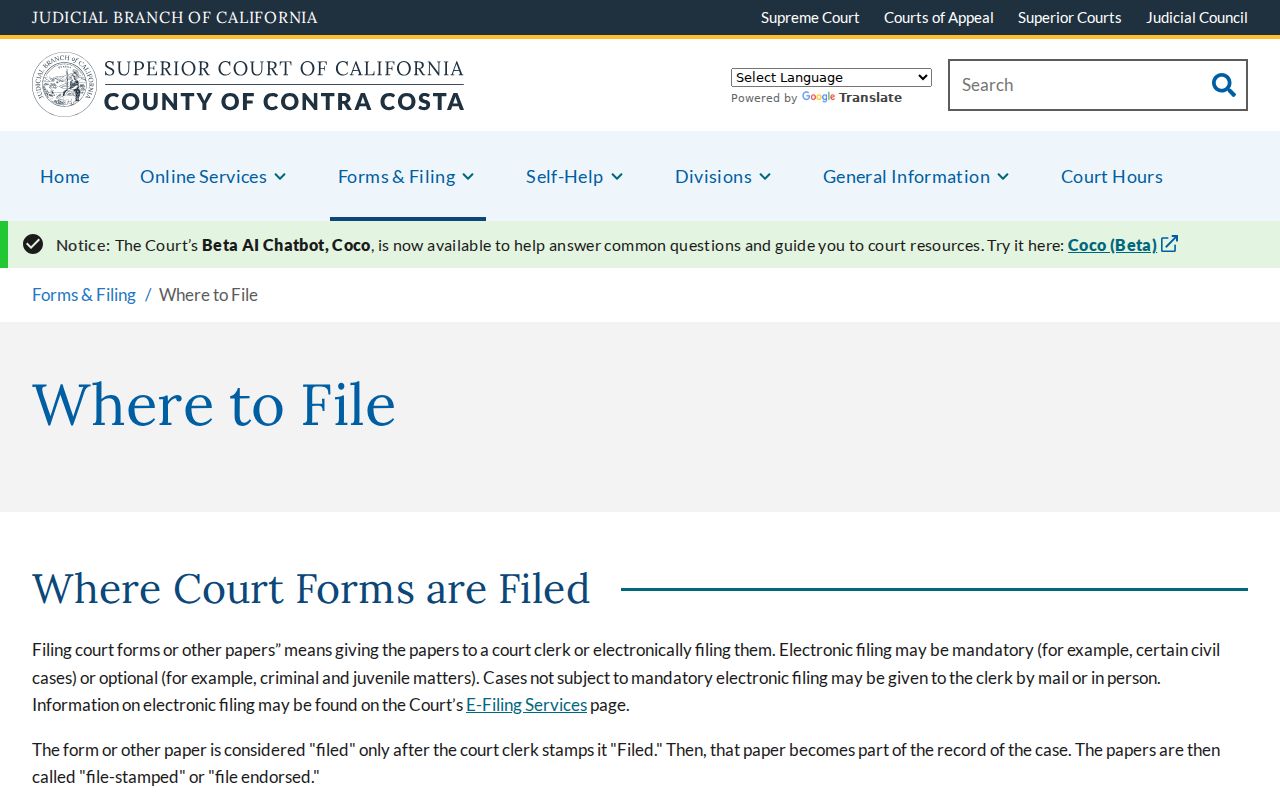
The court table is a service map. A ZIP code directory can point to this service path without supplying a directory of court parties.
The Arnason Justice Center page confirms the East County location and case coverage.
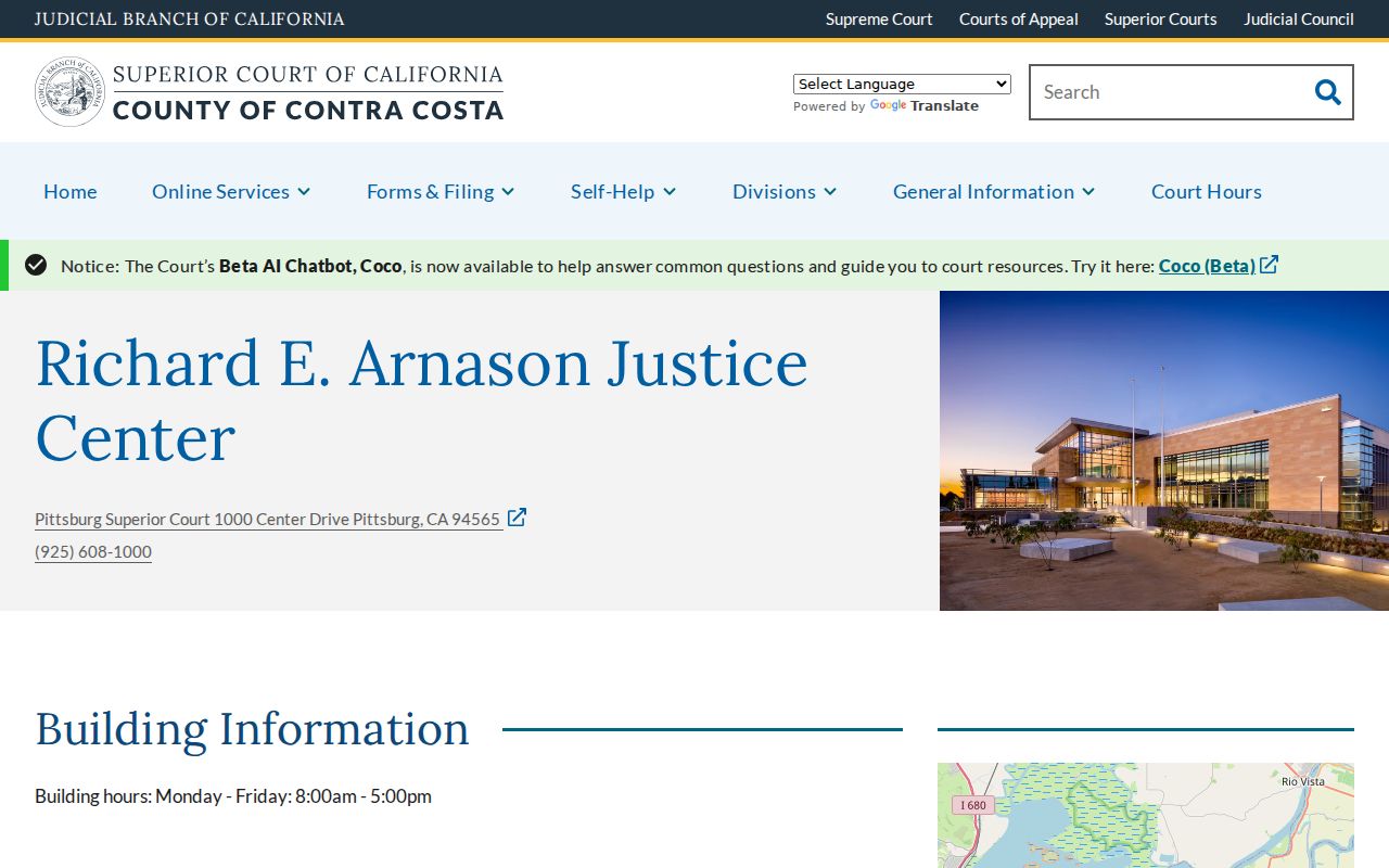
Use the case number or party search in the court portal after the filing location is clear.
Note: ZIP-based court assignment identifies a courthouse route, not a current resident population for an Antioch search.
Find Antioch Residents by ZIP
A ZIP code can narrow a resident research task, but Contra Costa’s public property tools do not advertise a ZIP-wide owner search. The safer path is to verify the postal address, build a finite parcel or APN list, and then use the proper roll, deed, permit, or records request. Voter status is individualized, and bulk voter access requires a permitted purpose.
- Confirm the exact ZIP through USPS, especially at a city boundary or on a 94531 address whose station is not clear.
- Enter the address or APN in CCMAP or ParcelQuest Lite. Record parcel shape, situs, values, and APN rather than treating the ZIP as the land key.
- Take a defined APN list to the assessor counter for public roll ownership and mailing information, subject to protected fields and current fees.
- Search RecorderWorks by APN, legal description, party, document type, and date when recorded interests are the goal.
- Use the street-level walkthrough after the ZIP narrows the area. The Antioch street directory owns the address chain.
The result is a set of documented parcels or records, not a claim that every person at a postal address has been identified. Keep the query date and source role with each entry.
Search Address or APN Before ZIP
Parcel tools expose the fields that actually connect postal geography to land. Use the ZIP as a check, then move to the address or APN. Vacant land may need an APN. A parcel with a shared address may need map interpretation. A legal description is the stronger deed key when a street label is old.
| Street address | Text or autocomplete field; enter number and street, with city when offered |
|---|---|
| APN | Alternative parcel key; preserve the county format and hyphens |
| Map navigation | Pan, zoom, or click a parcel to open attributes |
| Layers | Parcel, aerial, contour, and available planning layers |
| Radius or selection | Choose parcels near a point for a finite block or ZIP-area list |
CCMAP can select nearby parcels, but its radius counts parcels rather than homes or people. Condo and common parcels can cover many units. A city council district layer explains representation, while the parcel layer explains land.
Record the APN before using an address result in a postal directory search. It is the stable bridge among the assessor, map, deed, and permit channels.
Verify an Antioch Delivery ZIP with USPS
USPS is the authority for a deliverable ZIP on an exact address. The USPS city-and-state tool can confirm whether a proposed address belongs to 94509 or 94531, but a postal match does not establish city jurisdiction, ownership, voter status, or household membership. Verify a boundary address separately in the city GIS and parcel map.
Retail and station information can change. The research did not confirm the exact 94531 station assignment for every address, so a postal directory should not turn a broad area description into a station claim. The safest note is “verify by exact address,” then retain the returned USPS result with the date.
Use the USPS ZIP Code Lookup for the delivery check.
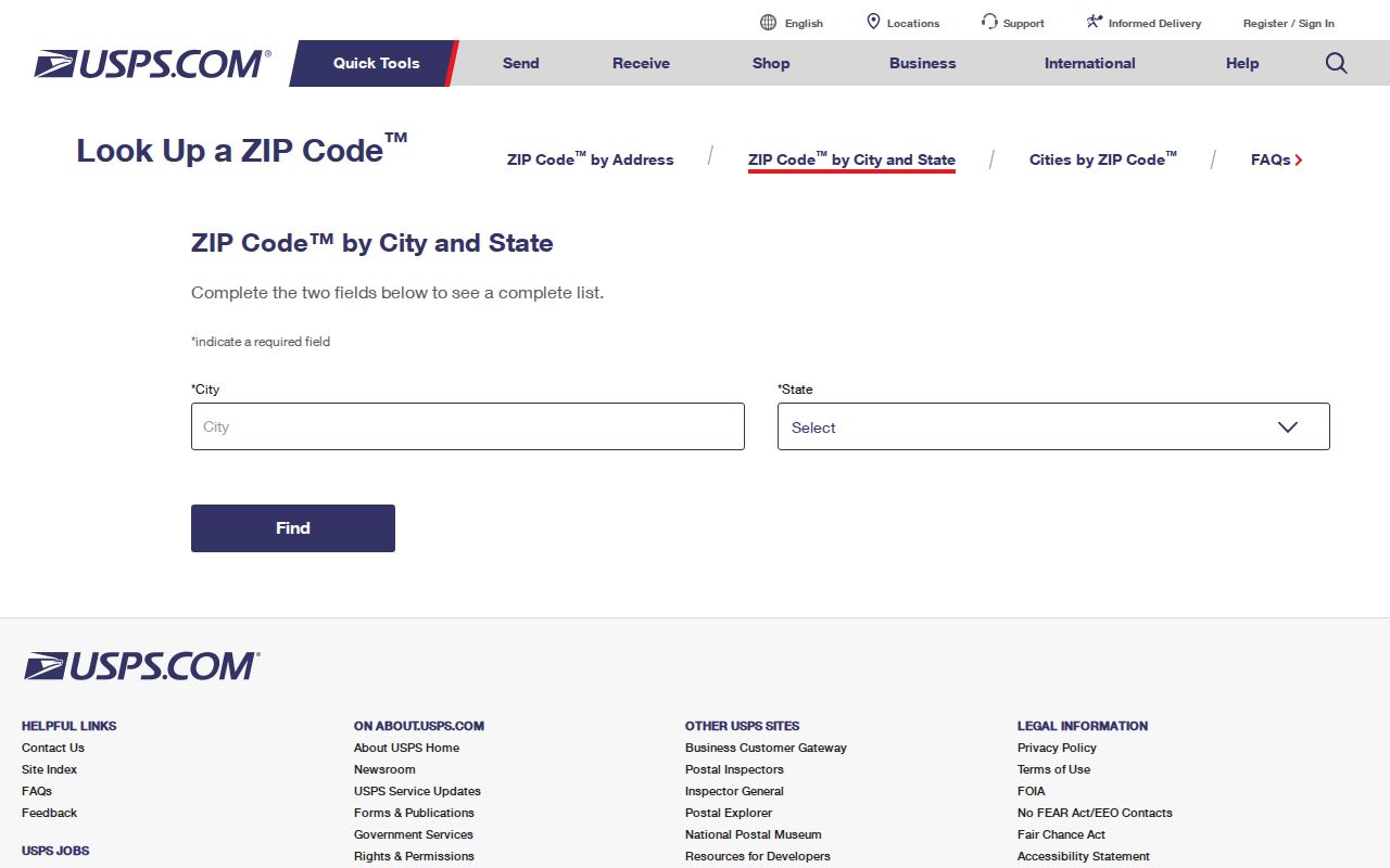
The USPS screen answers the postal question. Move to the APN or custodian when the research question concerns land or people.
Note: USPS verifies delivery, while the city GIS and APN verify separate jurisdiction and land facts.
Postal Boundaries Around Antioch
A postal directory is useful only when its boundary limits are stated. The city’s ZIP map helps orient historic north and central Antioch against southern and eastern growth, but it does not document a dated ZIP split or a universal neighborhood border. A parcel can sit near a city edge, a postal label can lag an annexation, and a court table can use the ZIP for assignment.
- ZIP versus ZIP+4
- The five-digit ZIP identifies a delivery area; the extra four digits refine delivery within it.
- PO-box ZIP
- A postal code used for box delivery rather than ordinary street delivery; the Antioch research did not verify a local PO-box-only ZIP.
- Unique ZIP
- A code assigned to one institution or defined organization; no Antioch example was confirmed.
- Carrier route
- A delivery route used by the postal system inside a broader ZIP area.
Boundary check. For a close address, verify USPS delivery, city jurisdiction, parcel APN, council district, and court filing location as separate facts.
The postal guide becomes reliable when it reports what the map confirms and what the source did not establish.
Note: A documented boundary gap is more useful than an invented ZIP split or station assignment.
Census Geography Adds an Antioch Time Layer
Census schedules are another way to understand residents by place, but they are historical snapshots, not current ZIP rosters. The National Archives states that population schedules open under a 72-year rule. In 2026, 1950 is the latest public census and 1960 opens in 2032. Enumeration districts and street changes can make address browsing difficult.
Pair the census year with a newspaper, telephone directory, deed, or city directory. A census household can include relationships, ages, birthplaces, and occupations for that enumeration date, while a postal area supplies a geography that may not match the census geography. Keep the enumeration district and street wording with the image.
The National Archives census research page explains the public-access rule.
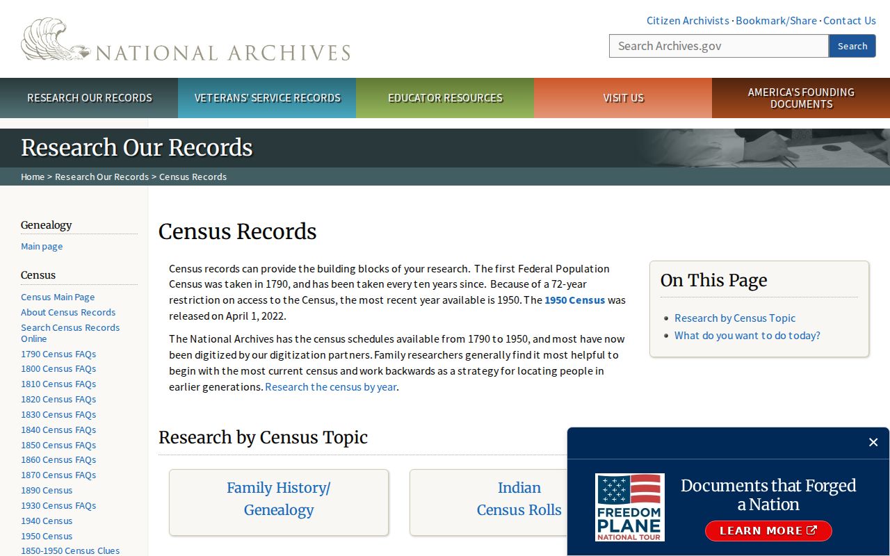
A historical census entry can fill an era gap, but it does not replace a current parcel, voter, or custodian record.
What an Antioch ZIP Code Directory Cannot Prove
A ZIP code cannot prove that an address lies inside every city layer, that the named person owns the parcel, or that a household has the same members as a mailing record. It cannot show unregistered adults, children, renters, protected voters, or Safe at Home participants. It cannot replace a legal description in a deed or a case number in a court record.
Use the ZIP to choose a starting area and service route. Use USPS to validate delivery. Use CCMAP for parcel geometry, the assessor counter for public roll ownership, RecorderWorks for recorded interests, and the court or library for their own records. The source role is the safeguard against turning postal shorthand into a residents list.
A lawful Antioch ZIP code directory respects the same privacy limits as every other residents resource. Public data may support family history, civic research, property curiosity, or a records request, but it does not authorize harassment or repeated unwanted contact.