
Find Antioch Street Records in Sequence
The useful Antioch address-record workflow begins with the address you can name and ends with a record whose role is clear. A street number alone is weak because corner parcels, apartments, vacant land, and old subdivision names do not behave alike. Preserve the exact spelling, ZIP, unit information, and date of the search. Then build a finite parcel list before asking any office for ownership information.
Run the steps in order. The chain moves from physical geography to a parcel identifier, then to a roll, a recorded instrument, and finally to historical or civic context.
- Enter the street address in CCMAP or the county property tools. Record the APN, situs address, mapped shape, and query date.
- Use the APN and address at the Contra Costa Assessor counter for public roll ownership and mailing-address information. The free web map does not show owner names.
- Search RecorderWorks by grantor, grantee, APN, legal description, document type, or recording date. Keep the instrument number and legal description with the result.
- Use permits and code records to date a project, application, inspection, or final. The applicant or contractor is not automatically the occupant.
- Use voter information only through an individualized or permitted-purpose route. Use a reverse directory or newspaper when the question concerns a past household.
Note: An APN is more stable than a street number when a subdivision, corner lot, or annexation changes the address label.
Antioch Street Directory Record Sets
An Antioch address record set is assembled from sources with different custodians and access limits. The coverage table keeps the street angle focused on what can be searched by address and what must be requested at a counter.
| Source | Street-Level Detail | Keeper | Access |
|---|---|---|---|
| CCMAP and ParcelQuest Lite | APN, situs, parcel shape, values, structure, map layers | Contra Costa Assessor and GIS | Free address or APN search; owners omitted online |
| Assessor roll | Owner and mailing address for a defined parcel | Contra Costa Assessor | Public counter and finite requests |
| RecorderWorks | Grantors, grantees, deeds, liens, maps, legal descriptions | Clerk-Recorder | Free index; books, images, and copies vary |
| City Civic Access and permits | Applications, status, inspections, and invoices by address/APN | Antioch Community Development | Public no-login search; applications need registration |
| Reverse directories and newspapers | Historical adult occupants, names, notices, and life events | Library and historical collections | Mixed online, film, paper, or in-person access |
| Voter file | Permitted registration fields and districts | Contra Costa Elections | Statutory purpose and certification required |
The same street can therefore hold a parcel clue, a dated deed, a permit history, and a newspaper household clue without any one source being a complete residents list. The Antioch resident lookup path is better when the goal shifts from every address to one named person.
Turn an Antioch Address into an APN
CCMAP and ParcelQuest Lite are the first tools for an Antioch street-by-street search because deeds are not keyed primarily to modern street addresses. Search by full or partial address, or use an APN when the parcel is vacant or the address is unclear. CCMAP lets the reader pan, zoom, click a parcel, view aerial imagery and contours, and use a radius or selection tool. The county describes its parcel shapefile as updated monthly.
The online parcel card can include APN, situs address when assigned, assessed land and improvement values, building square footage, lot size, parcel-map link, and mapped geometry. Owner names are absent by policy. The APN is the bridge to the assessor counter and the RecorderWorks APN or legal-description search.
| Street Address | Use number and street; city selection may be available |
|---|---|
| APN | Use the county format and preserve hyphens, especially for vacant land |
| Layers | Parcels, aerial imagery, contours, and planning layers where available |
| Radius | Select nearby parcels for a finite block or street list |
| Map output | Print or download a map and keep the query date |
The county property-tools page explains the online and counter split in Antioch address research.
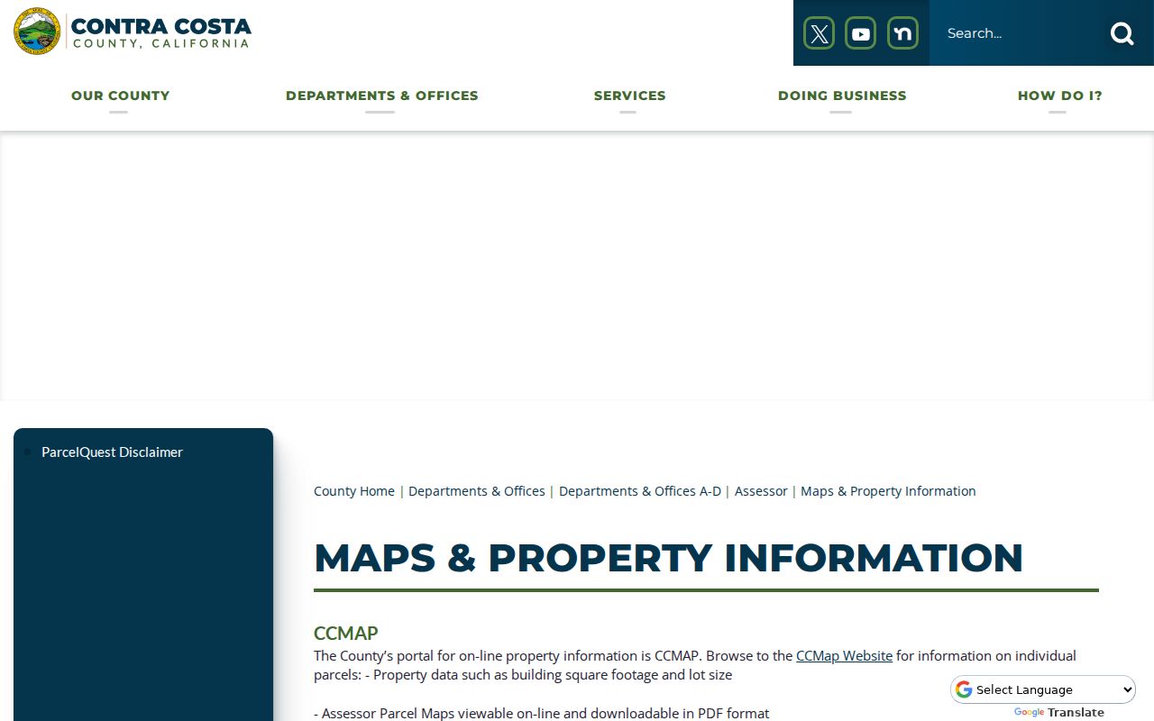
The map is a location key. It does not, by itself, identify the people connected to the parcel.
Why Antioch Owner Names Vanish Online
Contra Costa deliberately suppresses all owner names from its free web property tools because it judged selective protected-address maintenance impractical. That is an access-policy detail, not evidence that the assessment roll is closed. Take the APN or exact address to the assessor counter in Martinez for public roll ownership and mailing-address information. Counter charges listed by the county include a $3 map, $2.50 for mailing, $1 per page for a printout, $7.50 for characteristics, and $50 for a radius search. Confirm the live fee before ordering.
A mailing address is a correspondence destination. A situs address identifies the land. Neither proves that every adult at the location is an owner or occupant. A tax exemption or protected-address flag is supporting context, not a roster of household members. The Antioch street directory must state that distinction each time the property roll is used.
The assessor’s explanation of the ParcelQuest Lite and CCMAP limits is the best source for the current owner-name rule.
When a web result stops at the parcel card, the next channel is the counter or a finite public-record request. Do not fill the gap by treating a tax mailing address as a current residence.
Note: The assessor’s public roll and the free web map are different access channels for the same parcel.
Antioch Permits Date Work at an Address
Permit records add a time line to an Antioch street directory, but they answer a narrower question than a deed or roll. County ePermits documents application history from January 1, 1980 to the present for the county system. Incorporated Antioch construction belongs in Antioch Civic Access and Community Development, so county and city coverage must not be merged. A permit may carry an applicant, owner, designer, contractor, inspection, invoice, and status field, and those roles can belong to different people.
Antioch Civic Access permits public no-login searches by full or partial address or APN. Registered users can submit Building, Planning, and Encroachment applications, schedule inspections, and pay invoices. The 2024 guide is useful for navigation, but the exact dynamic result fields and historical cutoff were not text-accessible in the research.
Open the Antioch Civic Access search before requesting a city permit file.
The 2024 Civic Access user guide supplies the city-specific navigation notes, while dynamic result coverage remains a research gap.
Permit dates can show when a change was applied for, issued, inspected, or finalized. They do not prove who slept at the address when the work occurred.
For county guidance on the split between CCMAP, recorded documents, and permits, consult the Contra Costa property research guide.
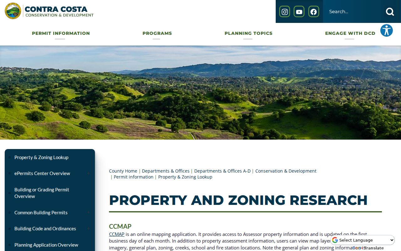
The two screens reinforce the jurisdiction check: the address may be the same, while the record keeper is not.
Note: County ePermits begins January 1, 1980, while incorporated Antioch construction uses a separate city system.
Walk a Deed Chain Along an Antioch Street
RecorderWorks supplies the ownership trail after the parcel is known. Search the current grantee, capture the acquisition deed, and identify the grantor. Search that grantor as an earlier grantee while keeping the legal description, APN, recording date, and instrument number in view. Repeat until the electronic index gives way to older books or the research question reaches its chosen date.
Party Type can narrow a result to grantor or grantee. Name searches use LAST NAME space FIRST and allow partial matching. Document types include deeds, deeds of trust, assignments, liens, mechanics liens, notices of default, notices of sale, reconveyances, releases, easements, maps, judgments, probate-related decrees, powers of attorney, covenants, and homestead documents. Book and Page is specifically documented for 1986 through 1993; Old Book indexes labeled E and R reach back to 1849.
- Grantor
- The party giving or transferring an interest, often the seller in a deed.
- Grantee
- The party receiving an interest, often the buyer in a deed.
- Legal description
- The formal land description that controls identity when a street number changes.
- Reconveyance
- A recorded release of a deed of trust, generally tied to a loan rather than a new owner.
Older handwritten books at the Martinez recorder counter bridge gaps. A search result is an index entry until the image or certified copy is obtained. Keep the source type attached to every line of an Antioch street directory chain.
Layer Antioch Council Districts on the Map
The city council district GIS adds civic geography to an Antioch street directory address search. Open the city address tool, choose Layers, select Antioch Council Districts, and use Search by Address. District 1 lies north of Highway 4. District 4 is the southernmost. Districts 2 and 3 follow combinations of Davison, Hillcrest, Lone Tree, Delta de Anza, James Donlon, and Somersville.
A council district identifies representation, not an occupant. It can help explain why a street record, agenda item, neighborhood conversation, or permit appeal appears in a certain civic context. The city map and CCMAP use different keys, so preserve both the address search and APN search instead of assuming the layers are interchangeable.
Use the Antioch council-district address tool for civic geography.
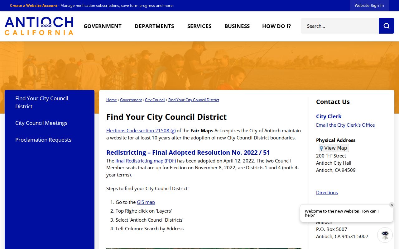
The district layer supplies neighborhood orientation while the parcel layer supplies land identity. Neither one is a public list of residents.
Antioch Street Geography Needs APNs
Antioch grew from its historic waterfront through Highway 4 and into southeastern subdivisions. Street extensions, duplicate names, subdivision plats, annexation boundaries, and changes in postal labels can make a modern number look older than it is. No authoritative dated citywide street-renumbering program was located in the research. That gap is a reason to use a parcel key, not a reason to invent a renumbering year.
Four address keys can differ: the situs address of the physical parcel, the owner’s mailing destination, the legal description in a deed, and the USPS ZIP. A lot or subdivision description may remain stable when a street label changes. A corner parcel may use a mailing street that is not the apparent front door. A radius tool counts parcels, not homes or people.
For one street, preserve the parcel map, APN list, legal descriptions, and query dates. Then compare the list with the assessor, recorder, permit, and library channels. This is slower than guessing sequential numbers, but it handles private streets, condos, vacant land, and shared parcels more cleanly.
Read an Old Antioch Street in Reverse
Historical reverse or criss-cross directories reverse the usual name-first order. A street and number lead to adult occupants, while the alphabetical section leads from a person to an address. Exact Antioch Polk or continuous city-directory runs were not verified, so use the library catalog, branch shelves, and the historical collections rather than assuming a complete annual series.
Antioch newspapers are a stronger documented local trail. The title family runs from Antioch Ledger in 1870 through Weekly Antioch Ledger, The Ledger, Daily Ledger, Daily Ledger Post Dispatch, and Ledger Dispatch. The library holds selected issues online, film, and paper. Search each title variant, preserve road-only wording, and pair a name or address with a deed, census, obituary, or probate entry.
When the task becomes a full household history, use the Antioch city directory collections page for the shelf and entry-reading method. This address page remains responsible for the modern address-keyed chain.
What an Antioch Street Directory Cannot Show
Deeds and assessment rolls usually show ownership interests, not renters or every household member. Utility customer lists and DMV addresses are protected. A voter status result is personalized, and an authorized voter file excludes protected voters and says nothing about unregistered adults, children, or ballot choices. Safe at Home and protected-official rules can suppress addresses.
Use the address chain lawfully. Public parcel and court information is for personal, family-history, civic, and safety research. It does not authorize stalking, repeated unwanted contact, threats, trespass, or harassment of anyone.
A missing name is therefore not a clean negative. It may reflect a renter, a nonregistered adult, a protected address, a sealed record, a map-only parcel, or a record that belongs at a counter. The most accurate address search states both what the source shows and what it cannot show.
Note: A street search is strongest when each address clue carries its source date, record role, and custodian.
Request Finite Antioch Street Records
When a parcel list is ready, a targeted request is more useful than asking an agency for “everyone on a street.” Antioch requests can go through the current records hub, by mail, email, or at City Hall. Identify the department, address or APN, date range, record class, and preferred inspection or copy method. The city intends to determine disclosure within ten days and commonly reports two to four weeks for processing. Police incident, event, and traffic reports follow APD Records at 300 L Street, not the general hub.
Contra Costa accepts oral, phone, counter, email, mail, or fax requests to the custodian. The Public Records Act determination period is ordinarily ten calendar days, with a written extension of up to fourteen days for unusual circumstances. Production is not automatically due at the determination deadline. Inspection is ordinarily free, while copying carries applicable direct costs.
Use the Contra Costa public-records route after the APN or street scope is defined. A finite request lets the custodian search an existing record without creating a new resident directory.